
The relief-map of Lille
Format BrochéAuteur : Florence Raymond, Nathalie Dereymaeker

Livraison en Guyane tout compris

Retours et SAV simplifiés

Garantie Isleden
Description
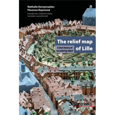
The relief map of Lille is part of the French collection of models of fortified towns and cities that began under Louis XIV and continued until Napoleon III. The object has had a turbulent history since it was made in Lille in 1743.
A veritable time machine, the relief map is a mine of priceless information about the 18th-century city and the meticulousness with which it represents the urban landscapes charms all those who see it.
Thanks to painstaking restoration work, the 14 relief maps deposited by the French state at the Palais des Beaux-Arts have rediscovered their freshness in a specially designed gallery. The map of Lille has been digitised and new exhibition technology now makes it easier for visitors to understand.
Caractéristiques
Caractéristiques
- Format
- Broché
- Date de parution
- 26/09/2019
Livraison en Guyane avec Isleden
🇬🇫 Accédez à des milliers de produits avec une livraison en Guyane simple et sécurisée. Aucun frais caché : le prix est tout compris et votre commande est livée directement chez vous.